Tesla VP of AI Confirms Company Is Building Proprietary Maps for FSD
Tesla is developing its own mapping data to correct specific navigation and speed limit issues within its Full Self-Driving system, reversing years of public criticism regarding map dependency.
By Kevin Iyer ·
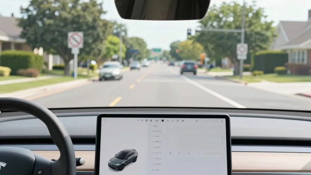
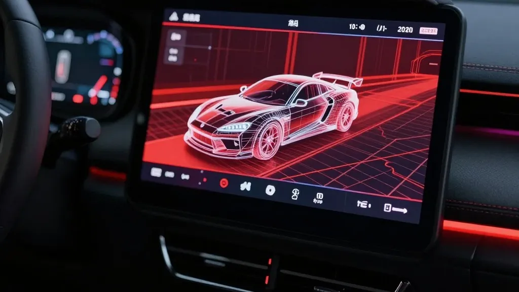
Tesla's Vice President of AI, Ashok Elluswamy, stated during the company’s Q3 2026 earnings call that Tesla is constructing its own mapping infrastructure to address persistent performance gaps in its Full Self-Driving (FSD) software. The executive acknowledged that the system currently struggles with specific environmental data points, including identifying speed limits, determining appropriate parking, and calculating optimal routes. Consequently, the company is developing a new AI-based mapping and navigation architecture designed to alleviate these issues.
Elluswamy explained that this technology will be fed by data collected collectively from Tesla's fleet. He added that the system is designed to learn individual driver preferences and respond to voice commands. The rollout for this capability is scheduled to begin with FSD v15, which will handle the start and end of trips. Over the subsequent months, the system is intended to expand its capabilities to take over navigation, parking, and destination handling.
This announcement marks a significant departure from Tesla's historical stance on mapping technology. In 2015, when Autopilot launched, the company told Fortune it had begun building high-precision maps with significantly more granularity than standard navigation data, utilizing input from customer vehicles. However, during Autonomy Day in 2019, Elon Musk characterized the reliance on high-precision lane maps as a 'huge mistake' and a 'really bad idea,' arguing that such systems make self-driving technology 'extremely brittle.' This stance was part of a broader narrative that positioned Tesla's camera-only approach as superior to competitors who utilize lidar and detailed maps.
The current pivot to building proprietary maps appears driven by the necessity to correct specific failures in the current vision system, particularly regarding speed limit signs. A Belgian road safety group recently reported that FSD exceeded the speed limit in 55% of 30 km/h zones tested in Brussels, with the vehicle’s display frequently showing an incorrect 50 km/h limit. Additionally, the National Highway Traffic Safety Administration (NHTSA) is currently weighing an investigation into claims that Tesla Robotaxis are speeding through active school zones, a matter involving approximately 1,000 Model Y and Cybercab vehicles.
The company's new direction regarding mapping data draws a direct parallel to the operational model of its primary competitor, Waymo. Waymo builds maps by driving sensor-equipped vehicles through specific areas to generate high-definition data before launching service, and continues to update these maps as its fleet operates. Tesla is now describing a similar process where vehicles collect environmental data to feed a shared map that assists all cars in driving more effectively. While Tesla's approach does not currently involve centimeter-level high-definition mapping, the company's Robotaxi service operates within specific geofenced areas, city by city, with Tesla managing fleet operations.
Despite the technical utility of creating these maps to improve safety and navigation, the shift highlights a contradiction in the company's long-term messaging regarding autonomous driving. Musk previously dismissed the use of lidar and detailed maps as crutches for competitors, insisting that a true self-driving system must operate generally through vision alone. Tesla is now operating in geofenced areas using maps it builds itself, a method that was previously criticized as insufficient for true autonomy.
Ultimately, the development of this proprietary map layer suggests that Tesla is aligning its methods with the broader industry standard for autonomous vehicle operation. Both Tesla and Waymo are building their own maps to assist their vehicles in understanding the environment, though they differ in hardware, with Waymo utilizing lidar. Tesla's decision to build its own map data is intended to fix errors its vision system cannot reliably resolve on its own, indicating that vision alone is not currently sufficient to handle all road information.